A live map for a children's Halloween party
A QR code at the gate turns the event grounds into a searchable, you-are-here map of every booth.
A city recreation department was putting on a children's Halloween party: vendor booths in rows, food trucks along two paths, a hayride, a pumpkin patch and a costume contest. Lots of families, lots of booths, and the usual question at every corner — where is it?
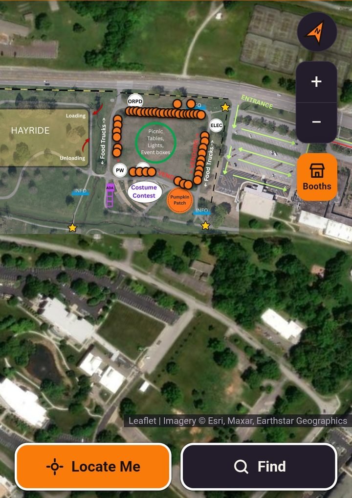
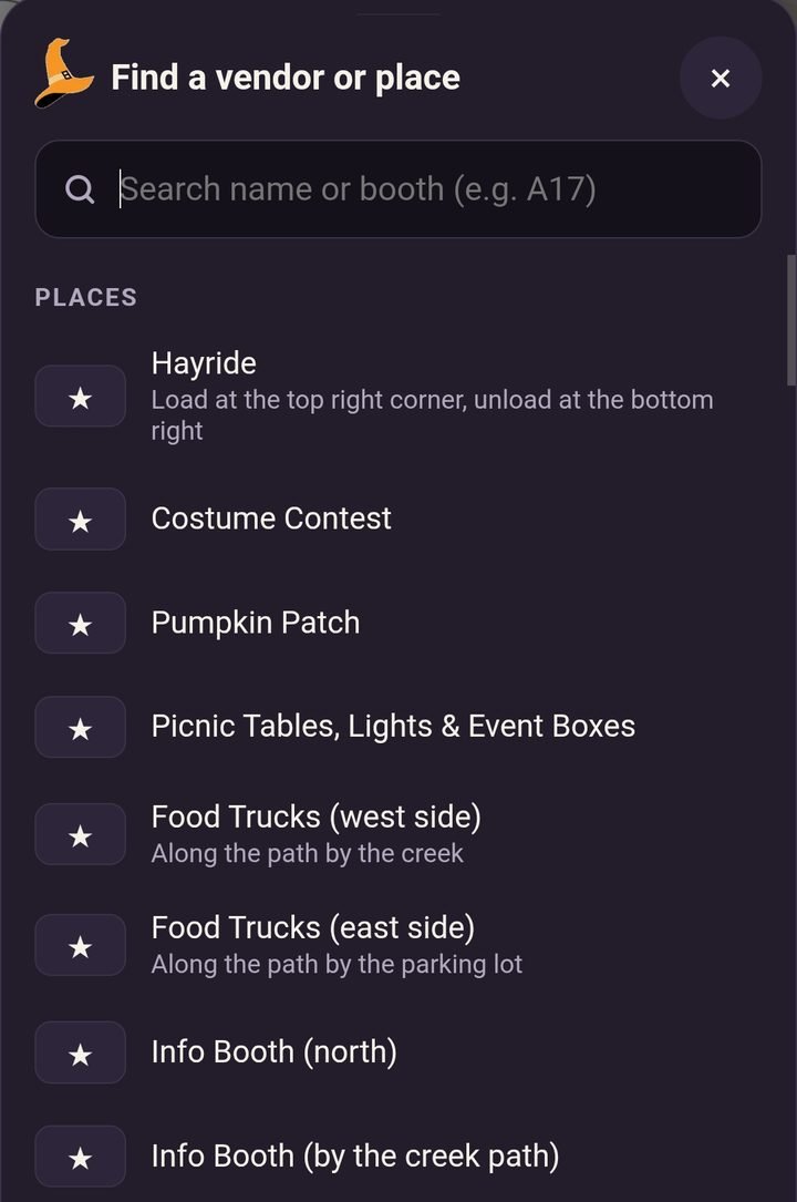
What it does
- Scan and go. Families scan a QR code and the map opens in their browser — no app to download.
- The real layout. The event's own site plan sits on top of satellite imagery, so rows, paths and parking match what you see.
- Every booth. Tap a booth number to see who's there, a short description and a link to their website.
- Find anything. Search by vendor name or booth number, or jump to places like the hayride, pumpkin patch, food trucks and info booths.
- Locate me. One tap shows where you're standing, so the map follows you as you walk.
Why it works
[Add a few lines in your own words: how the organizers used it, what you'd add next, or a moment from the night itself.]
Running an event where people keep asking where things are? Let's talk.